Advancing Reforestation Monitoring in Semi-Arid Regions:
Africa’s semi-arid landscapes, particularly the Sahel, are grappling with a growing environmental crisis. Land degradation—driven by both natural and human factors—has led to food insecurity, loss of biodiversity, and increased climate vulnerability. Addressing these issues is not just an environmental necessity but a way to secure livelihoods and build resilience in communities.
The Power of Reforestation

Reforestation provides a hopeful solution. It helps stabilize soil, improves water retention, and absorbs carbon, bringing life back to degraded lands. Beyond environmental benefits, reforestation also offers economic opportunities for local communities. However, monitoring the success of these projects in vast, remote areas remains a significant challenge. This is where cutting-edge technologies, like AI and remote sensing, can make a crucial difference.
A New Initiative to Drive Innovation
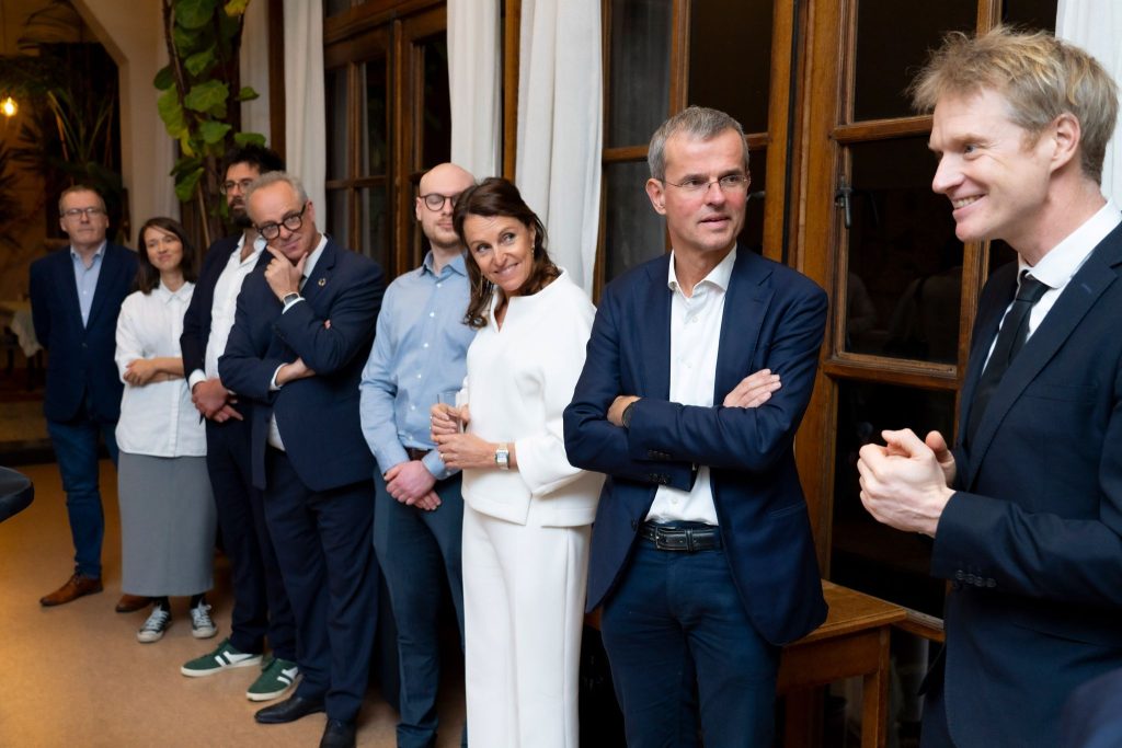
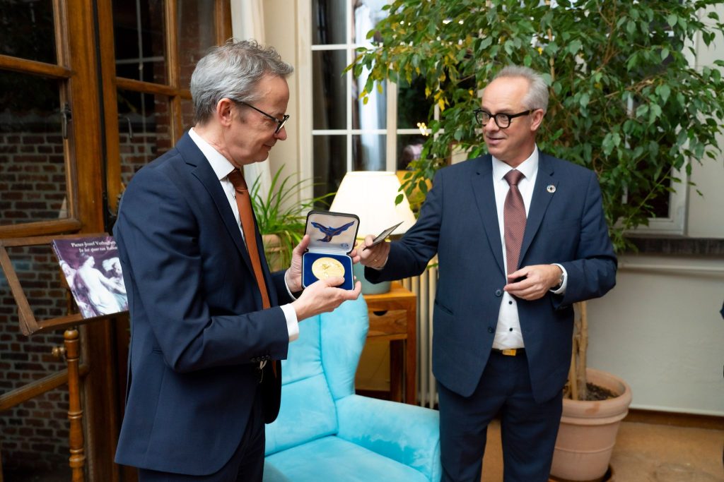
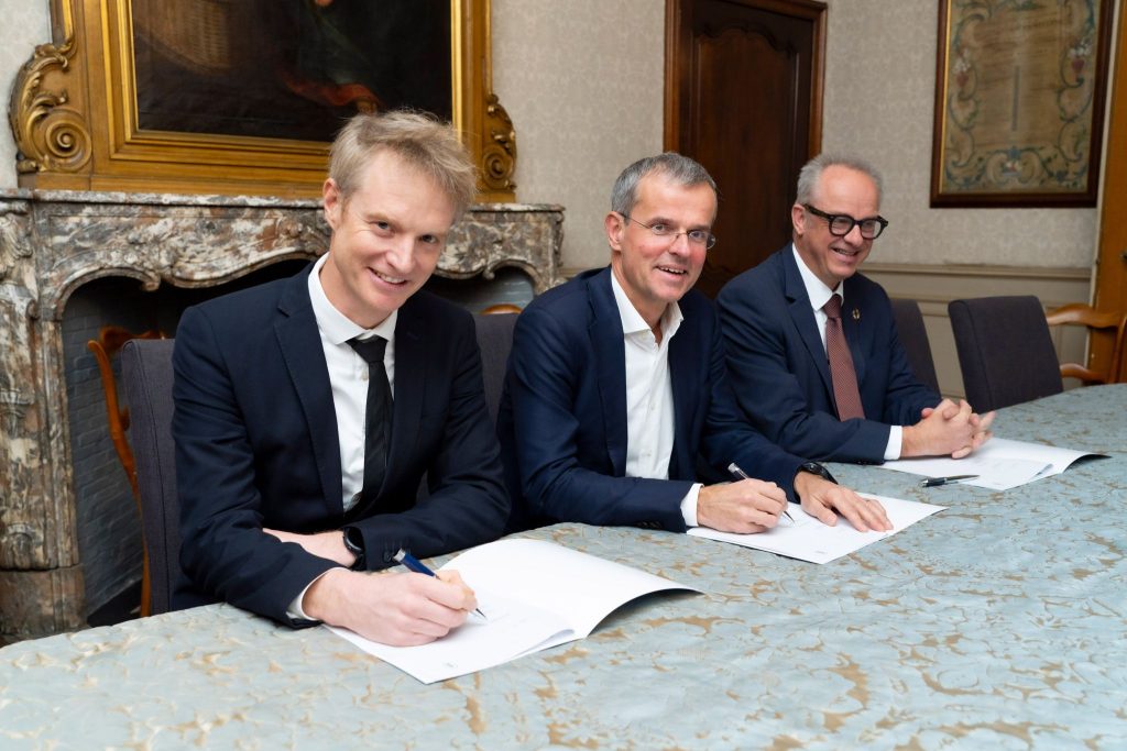
To meet this challenge, a new Academic Chair at KU Leuven was initiated: “AI-Based Remote Sensing for Monitoring Reforestation Success in Semi-Arid Regions,”. The goal of this chair is to create tools that will simplify tracking the progress of reforestation projects. By combining AI with high-resolution imagery from drones and satellites, the initiative aims to provide accurate and efficient assessments of tree counts, biomass growth, and biodiversity.
Why AI and Remote Sensing?
While traditional methods of monitoring reforestation are valuable, they can be labor-intensive, time-consuming, and hard to scale. Remote sensing provides a scalable solution, offering high-resolution insights into tree growth and biodiversity across large areas. Integrating AI makes these tools even more powerful by analyzing massive datasets quickly and accurately, allowing for faster, more reliable assessments—even in difficult-to-reach locations.
Making a Difference with Lignaverda

This initiative is closely aligned with Lignaverda’s mission to restore degraded land in Africa while creating long-term, sustainable benefits for local communities. By overcoming the limitations of current monitoring methods—such as the difficulty in tracking smaller trees and scaling data analysis—this project will offer practical solutions for more effective land management and informed decision-making.
This initiative will be led by Prof. Dr. Ir. Stef Lhermitte, Chairholder of the Forest, Nature and Landscape department at the KU Leuven Faculty of Bioscience Engineering, in collaboration with key co-promotors and researchers: Prof. dr. ir. Matthew Blaschko, Processing Speech and Images (PSI), Leuven (Arenberg), Department of Electrical Engineering (ESAT), Faculty of Engineering Sciences, Prof. dr. ir. Ben Somers: Forest, Nature and Landscape, Leuven (Arenberg), Department of Earth and Environmental Sciences, Faculty of Bioscience Engineering, and Prof. Toon Goedemé: Processing Speech and Images (PSI), De Nayer (Sint-Katelijne-Waver) Campus, Department of Electrical Engineering (ESAT), Faculty of Engineering Technology.
The Chair will promote PhD research that will focus on high-resolution mapping for tree counts, biodiversity, and biomass estimation during the early stages of tree development in semi-arid regions.
Looking Ahead
The impact of this work extends far beyond technology. The results will provide policymakers and land managers with the reliable tools they need to promote sustainable land-use practices. It will also enhance efforts to capture carbon, restore ecosystems, and generate economic opportunities for communities affected by land degradation.
At Lignaverda, we believe innovation and collaboration are key to building a sustainable future. Through investment in research and technology, we can turn the tide against land degradation and climate change—one tree at a time.
Let’s grow a better future together.


